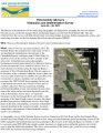
Hydraulics and Sedimentation Survey (mapping the river or channel bottoms in Reach 4B and the Eastside Bypass) Posted on June 28, 2012January 11, 2024 by Download FieldAdvHydSedSurv20120628.pdf File Size0.2 MiB DateJune 28, 2012 Downloads1530